AERIAL SURVEYING
Aerial surveying is a safe and efficient way to carry out surveys of inaccessible areas such as tall buildings or quarries allowing you to safely capture high-resolution images and video. The images can be converted into detailed and accurate 3D surface models and point clouds using photogrammetric techniques.
In addition to surveying, 360 surveys use drones are a great tool for carrying out inspections of hard-to-reach places such as rooftops or aerial masts. They can also be used to document progress on a long-term construction project capturing an entire site from the air giving you a whole new perspective on your site.
All flights are conducted by our Authorized pilot by our Operations manual.
BATHYMETRIC SURVEYING
Bathymetric surveys allow us to measure the depth of a body of water as well as map its underwater features. We can adopt multiple methods including multi-beam and single-beam surveys.
Our clients use our bathymetric surveying services to calculate volumes of large bodies of water such as reservoirs, to determine silt build-up over time, or to map the beds of rivers to better understand flood risk to an area.
MEASURED BUILDING SURVEYS
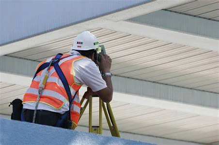
Floor plans can be produced in real-time by using a handheld tablet computer combined with a total station, Bluetooth laser distance meter, or steel tape to input data. Survey control can be established throughout a building allowing us to link all floors to a common datum. This approach enables us to verify the results on-site in real-time to ensure accuracy.
Our surveyor’s experience of carrying out measured building surveys allows us to produce a range of outputs including:
⦁ Floor plans
⦁ Roof plans
⦁ Elevations
⦁ Cross-sections

CONFINED SPACE SURVEYS
Confined space surveys allow accurate spatial data to be collected within a confined space environment. Our team of trained surveyors has experience in carrying out surveys in a range of confined space environments including caves, culverts, and underground pumping stations as well as mines.
Our preferred method is to use a laser scanner which allows accurate measurements to be taken quickly and provides complete coverage of all the visible areas.
MOBILE MAPPING SERVICES
Mobile mapping is the process of collecting geospatial data from a mobile platform. Using the Leica Pegasus: Backpack we can combine imagery and point cloud data to enable our clients to visualize, record, and measure an environment quickly and accurately.
One data collection method provides multiple outputs. Busy urban environments, major pedestrian routes, roads and railways, and large buildings can now be surveyed in a matter of days not weeks.
MOBILE MAPPING SERVICES

Mobile mapping is the process of collecting geospatial data from a mobile platform. Using the Leica Pegasus: Backpack we can combine imagery and point cloud data to enable our clients to visualize, record, and measure an environment quickly and accurately.
One data collection method provides multiple outputs. Busy urban environments, major pedestrian routes, roads and railways, and large buildings can now be surveyed in a matter of days not weeks.
CONTROL NETWORK ESTABLISHMENT
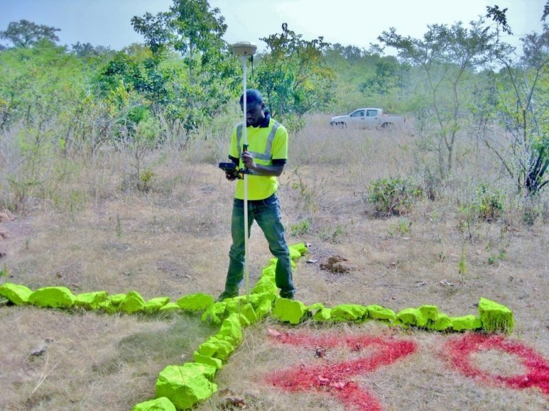
This type of survey sometimes referred to as a traverse survey, is to establish control networks or survey stations along a line or path of travel. The previously surveyed points are then used as a reference to survey the next control along the line of travel.
It is of particular use when constructing or carrying out maintenance work on roads, rail, or canal networks.
PROJECTS / MAJOR CLIENT
⦁ SIGINIK ENERGY
⦁ AMANDI ENERGY
⦁ CORPORATE LEGAL
⦁ LAW TRUST
⦁ NTRAKWA & CO
⦁ BARCLAYS BANK
⦁ STANBIC BANK
⦁ MODERN SECURITY
⦁ MINISTERY OF HOUSING AND CONSTRUCTION
⦁ CHARISMATIC EVANGELISTIC MINISTRY (KHARIS)


